Swamp Turtle's Hike
Southbound on the 2,200 mile Appalachian Trail (2015-16).
🚧 This page is under construction. Thank you for your understanding.
Below, the “My Hike” (left) tab discusses my experience. The other tab (on the right) briefly describes key Appalachian Trail (A.T.) jargon used on this page. If you are unfamiliar with A.T., I suggest you first look at the jargon.
-
Why did I hike?
📌 TODO “Motivation”
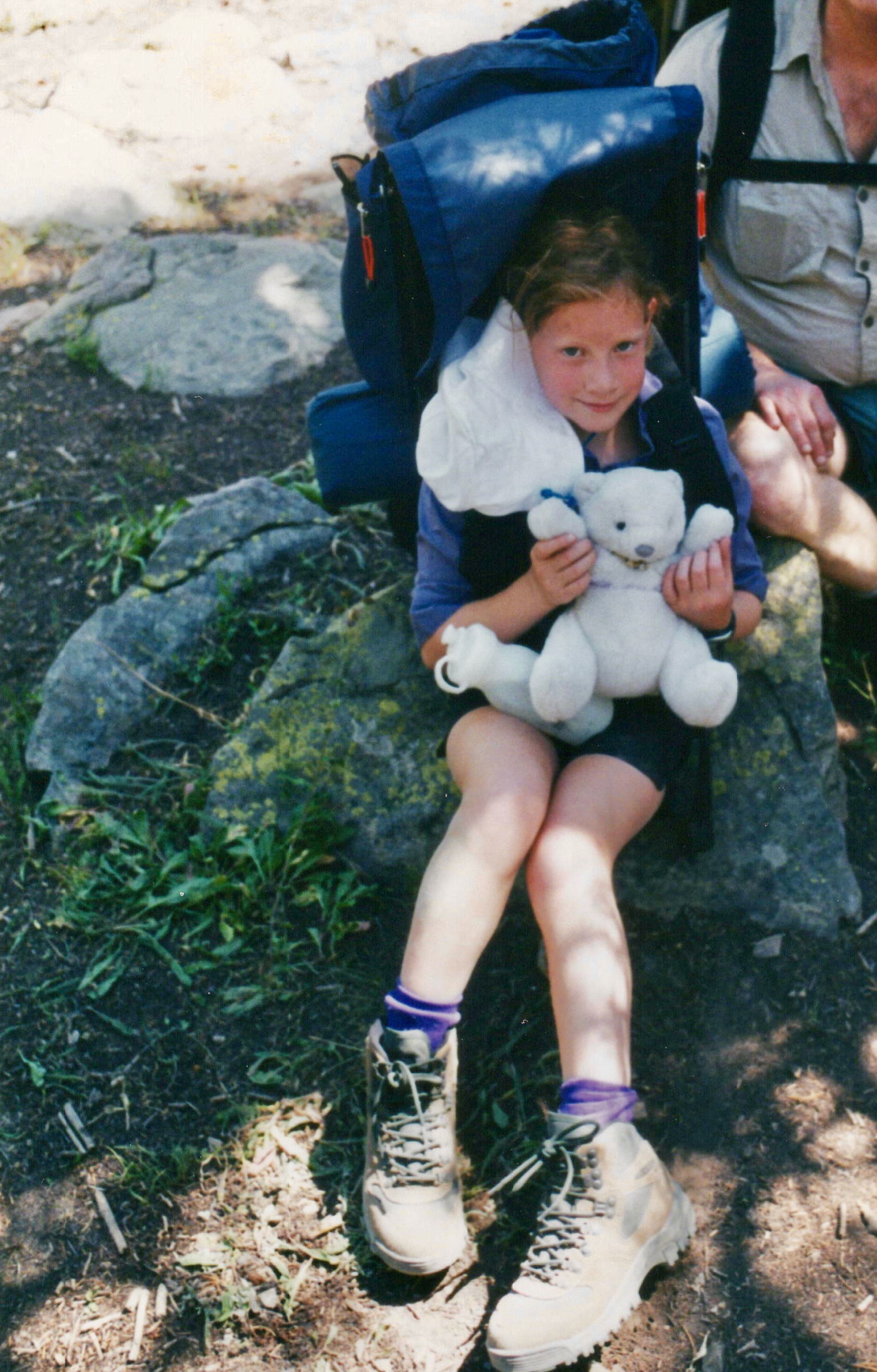
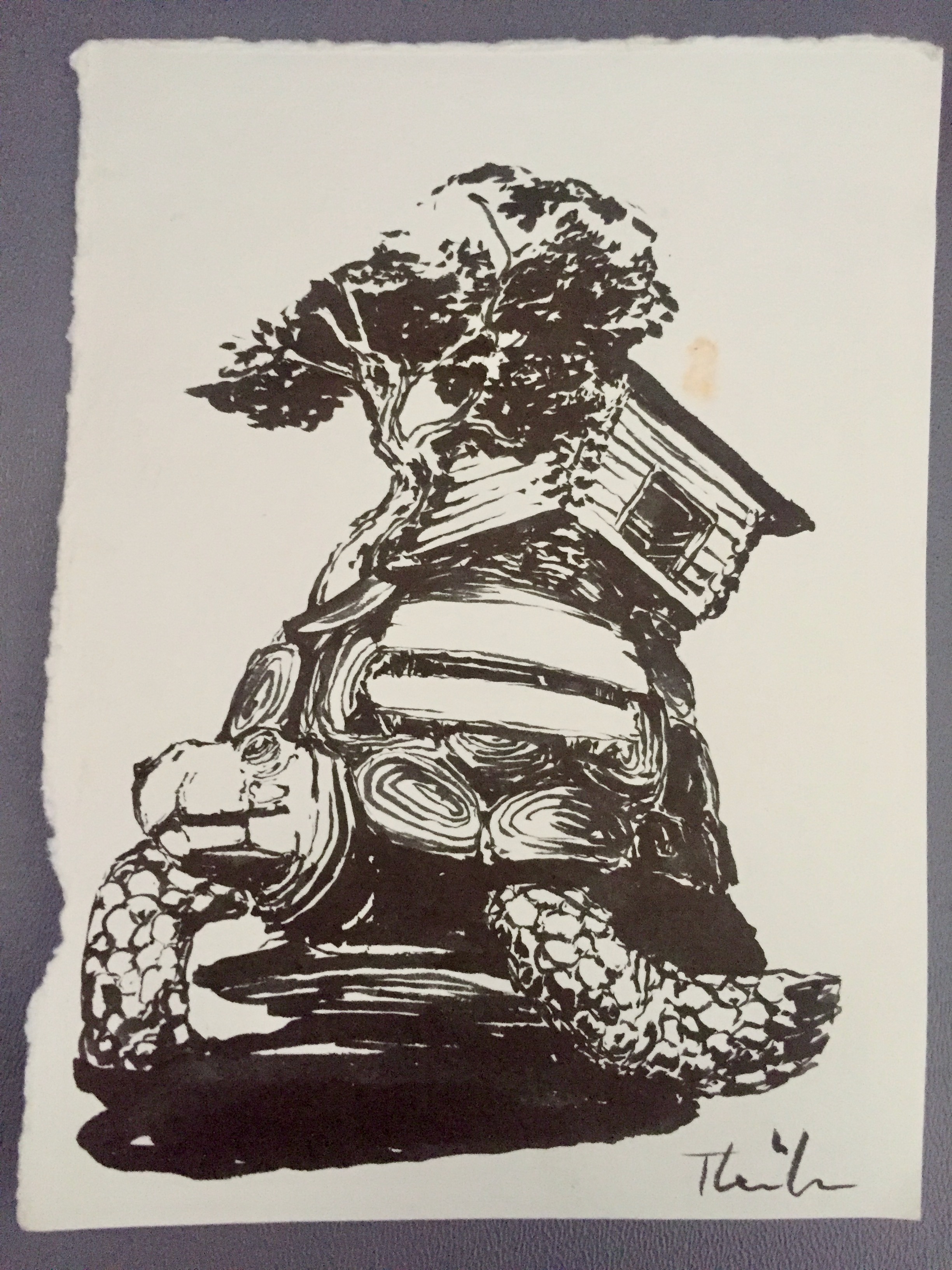 Rachel's (and Jessie's — the polar bear) first backpacking trip in August 2002 in the Uinta Mountains, Utah (left). Ink drawing inspired by Rachel's trail name, created by another thru-hiker (right).
📌 Why was my name “Swamp Turtle”
What did I hike?
“A word of caution
A southbound thru-hike is recommended only for experienced and fit backpackers who are looking for an extreme physical challenge right at the start. A southbound thru-hike starts with the most difficult climb on the entire A.T. (Katahdin), the most remote section of trail (100-mile wilderness), and the two most challenging states of the Trail (Maine and New Hampshire). Through 2017, fewer than 2,000 people had reported completion of the A.T. southbound.” – ATC
📌 Why Southbound (SOBO)?
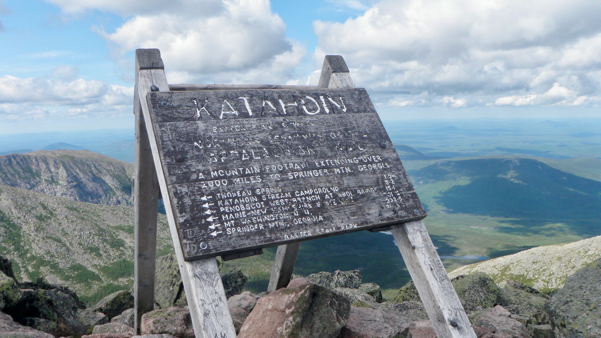
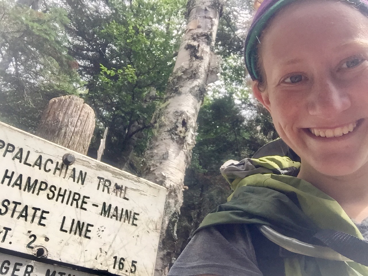
 TOP ROW (left to right):
- This sign marks Mount Katahdin's summit, which is the Trail's norther terminus. For NOBOs, it marks the culmination of months of hiking. NOBOs celebrating next to the sign is one of the Trail's most iconic images. In contrast, as a SOBO, it marked the start of my journey.
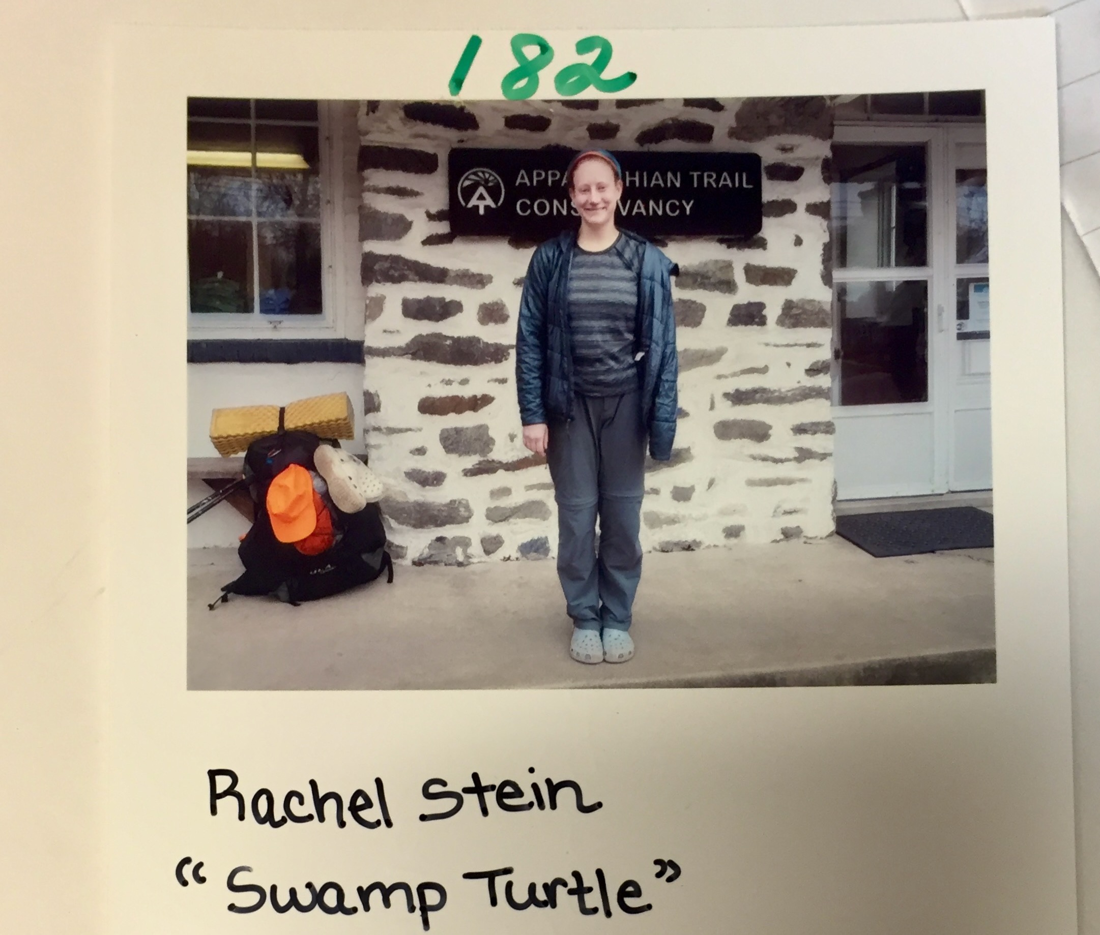
- The Appalachian Trail Visitor Center in Harpers Ferry, WV is the symbolic (but not literal) halfway point. Thru-hikers stop in to get their photos taken. I was the one hundred and eighty-second SOBO (and one of the last) SOBO's to check-in that year.
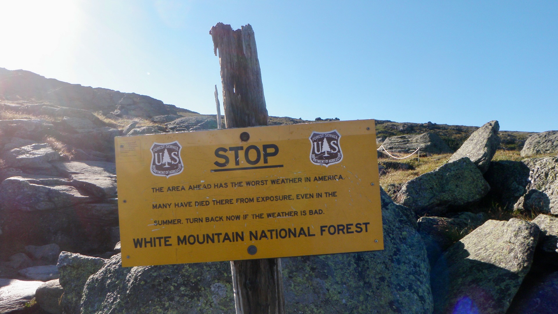
- Because going north is significantly more common, it was often signed accordingly. Here, for example, SOBO's are not warned of the danger until afterwards.
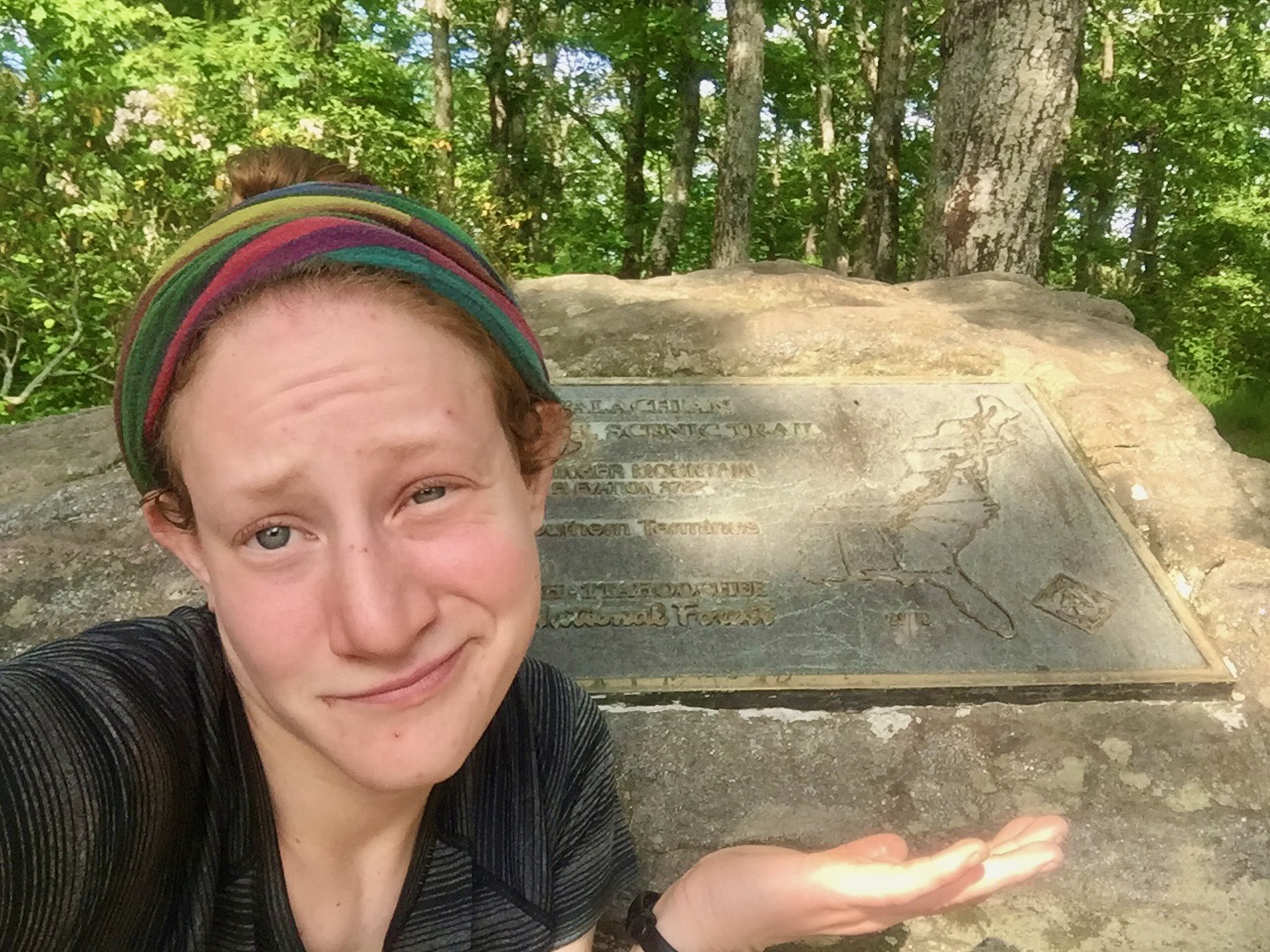
- Unlike the northern terminus, the southern lacks a stunning view.
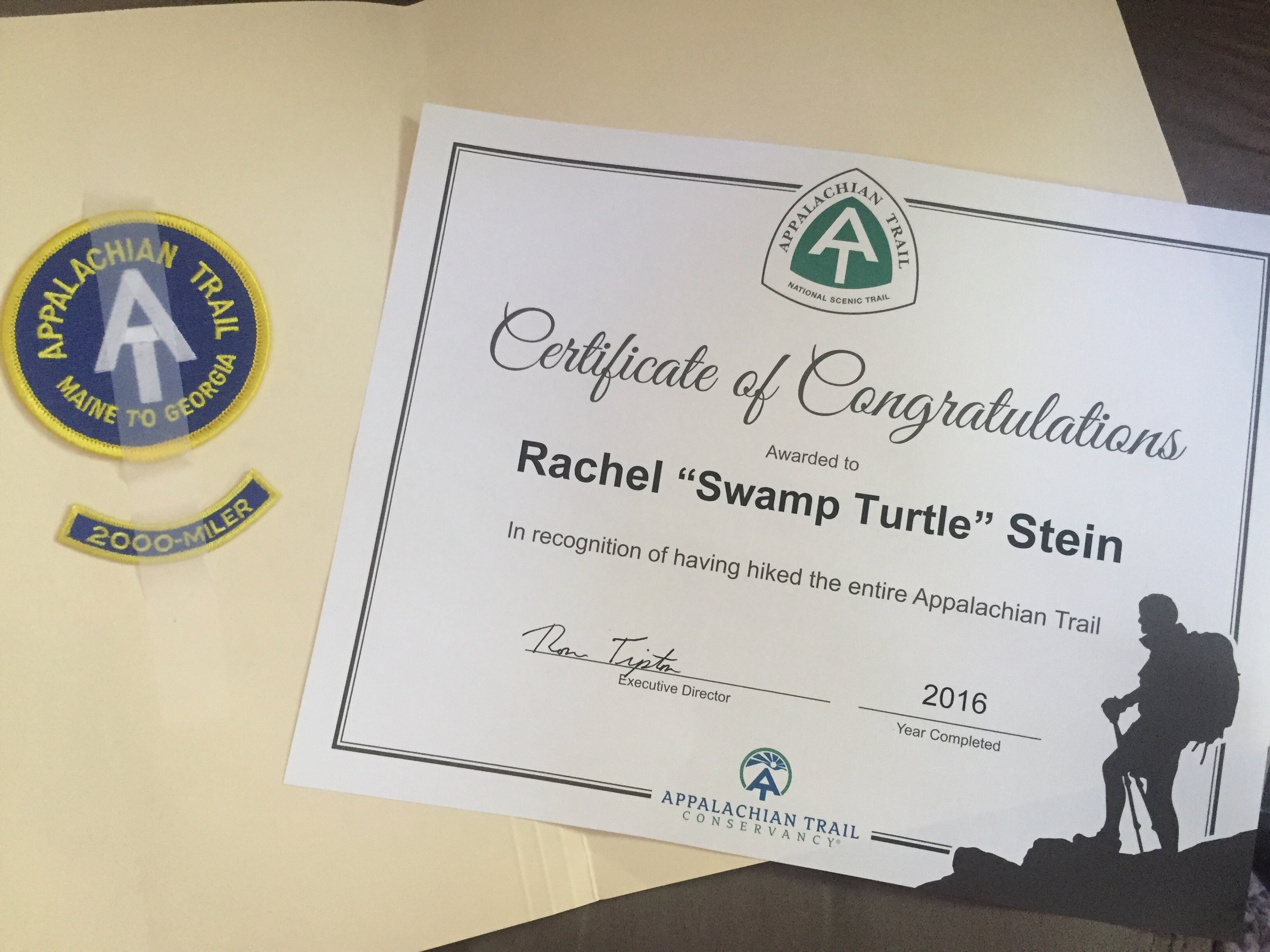
- My certificate of completion. Someone who completes it is called a "2000-Miler" because the A.T.'s length slightly changes each year.
📌 “Smiles Not Miles”
Physical Trail
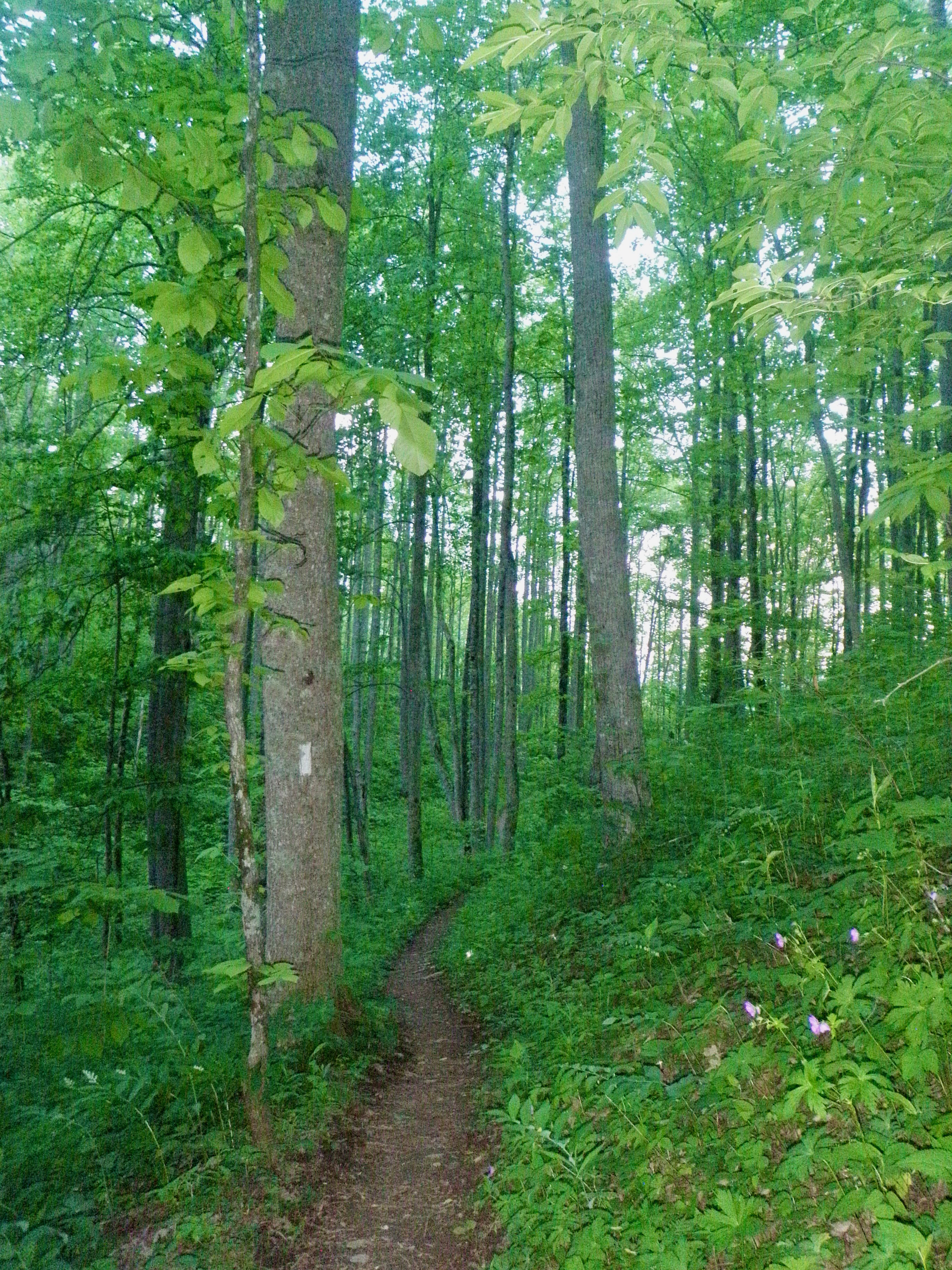
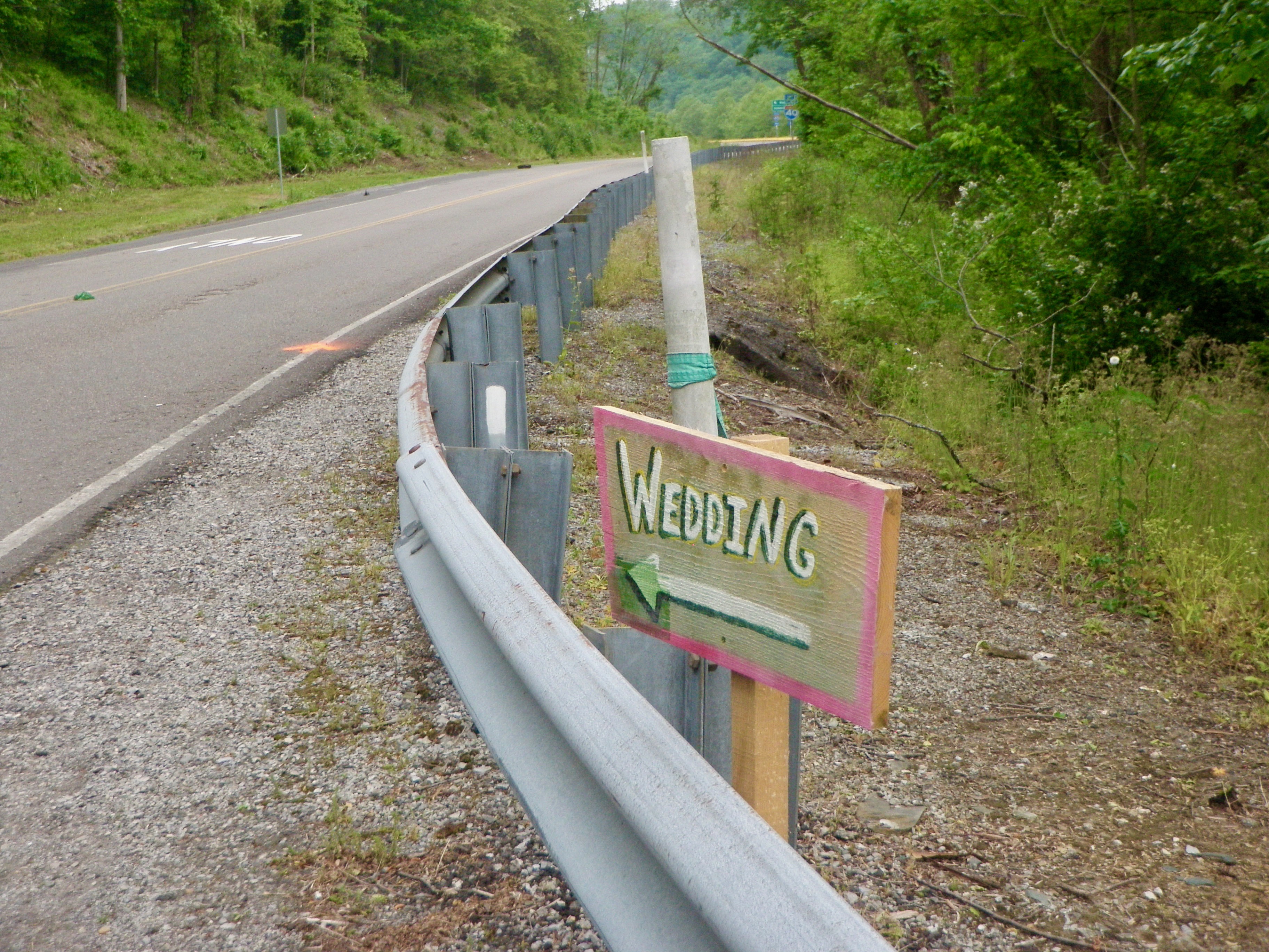
The A.T. covers around 2,200 mi. Before I hiked it, I did not appreciate how close you are to civilization. Even the famed 100-Mile Wilderness in Maine, the most remote section of the trail, wasn’t all that remote. While there’s little infrastructure, you pass by driveways to summer homes and lakes where families go for a day trip. Nor did I appreciate how different the trail itself could look. Some examples are shown below.
See the ATC’s section called “How is the A.T. marked?”.
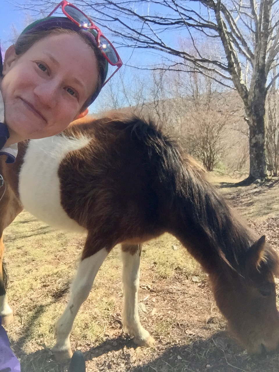
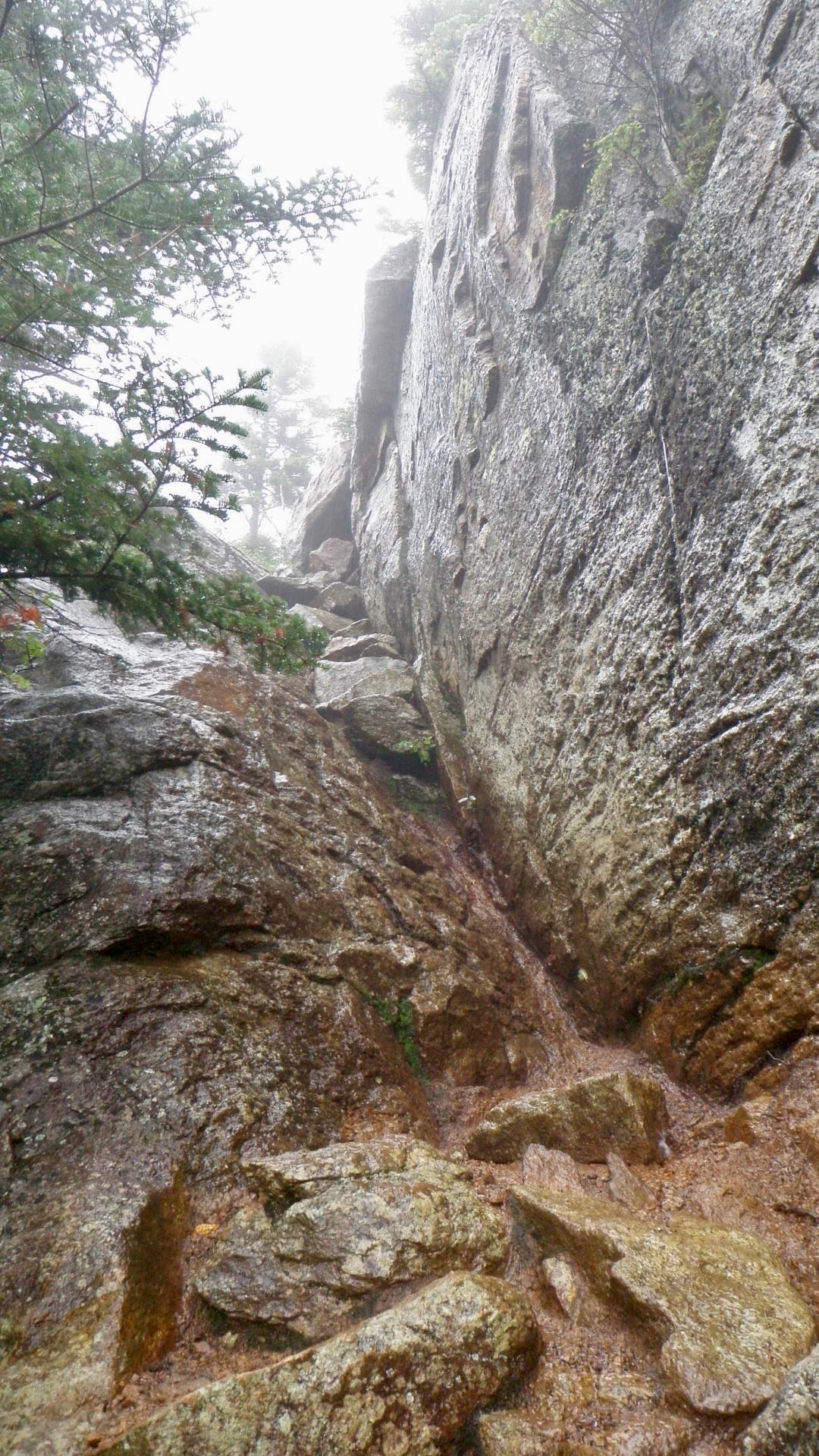
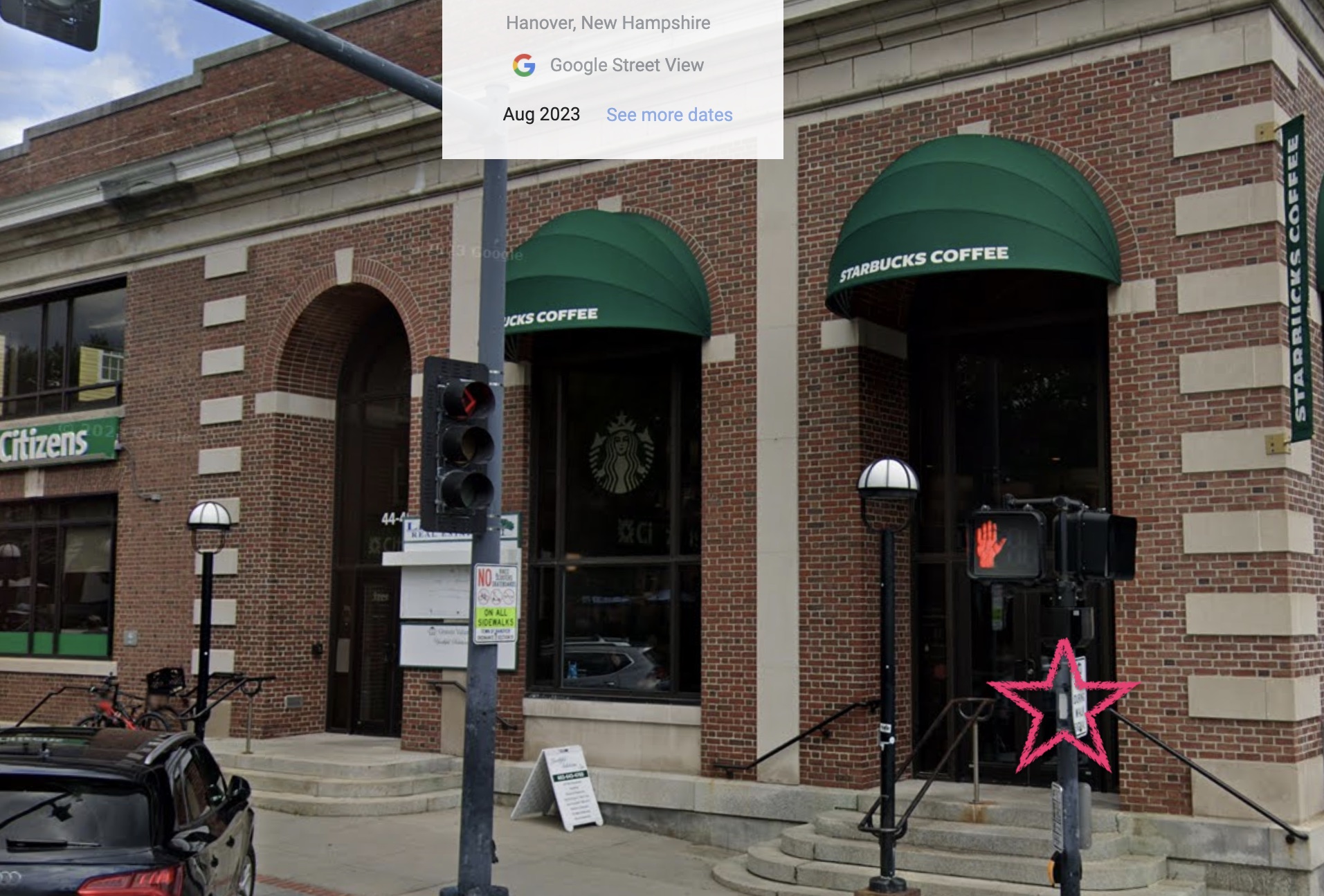
 Clockwise from top left:
- TOP ROW: Somewhere in North Carolina.
- Grayson Highlands [Virginia] State Park, where wild ponies roam free.
- The Presidential [Mountain] Range in New Hampshire.
- BOTTOM ROW: South Main St in Hanover, New Hampshire, the hometown of Dartmouth College. The image is from Google Street View. I added the star to draw attention to the white blaze.
- A rural highway in the South.
Some Takeaways
-
It was a privileged to be able to thru-hike the trail and an amazing experience that I will never forget. That said, practicalities aside, there is a lot to be said for doing the trail in sections. For example, people who visit Shenandoah National Park or the Great Smoky Mountains National Park often talk about how stunning and memorable the park was–especially the sunsets. But, when you thru-hiking you have similar views for hundreds on miles. Sometimes it was difficult not to take them for granted.
-
Post offices are the best! Public libraries are the pretty great too! ==📌 TODO finish!==
-
Jargon
Term Meaning Notes ⭐️ A.T. Appalachian Trail Formally: Appalachian National Scenic Trail. The trail is approx. 2,200 mi (3,540 km) and follows the Appalachian Mountains through 14 U.S. states. ATC Appalachian Trail Conservancy Protects, manages, and advocates for the A.T. Katahdin Northern terminus The A.T. starts/ends at Mt. Katahdin’s submit. ⭐️ SOBO Southbound In context: hiking from Maine to Georgia. NOBO is the opposite. Springer Southern terminus The A.T. starts/ends at Springer Mtn’s submit. Thru-hike Hiking A.T. in 12 months Definitions slightly vary. This is a popular one. Trail name Long-distance hiker’s nickname Mine was Swamp Turtle. Yes, everyone actually went by them! The Trek’s “Thru-Hiker / Appalachian Trail Glossary” page is a great resource and links to articles like “What Is a Trail Name and How Do I Get One?”.


